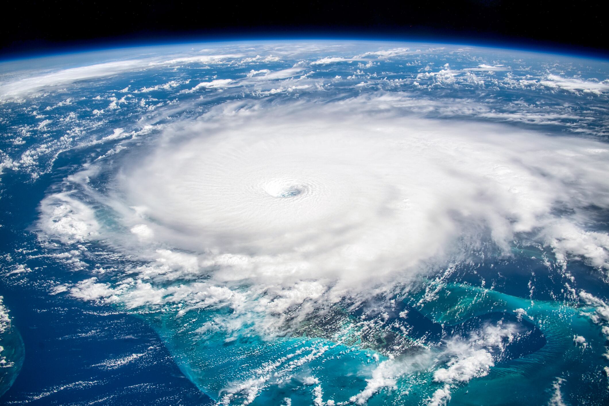
*By Carlo Versano* Hurricane Michael made landfall Wednesday as a monster Category 4 storm with winds near Category 5 status. In the process, it became the most powerful hurricane to hit the U.S. mainland in nearly 50 years. Washington Post weather editor Jason Samenow told Cheddar Wednesday he was tracking confirmed gusts of 130 mph and was deeply concerned about the storm surge and the potential for flooding. "We're far from done with this storm," he said. Michael's eyewall came ashore near Mexico Beach, Fla., just outside Panama Beach on the Panhandle. Even once the storm weakens over Florida, large areas of the southeast that are still recovering from Hurricane Florence will be at great risk of serious flooding. The saturated Carolinas could see three to six inches of rain, and the winds will expand as the storm unwinds. Reports of damage in the Panhandle area were beginning to come in as of Wednesday afternoon. Hours after the official landfall, the storm has not weakened substantially. Although Michael is the second major hurricane to make U.S. landfall in roughly one month, Samenow said, "This has been a fairly normal hurricane season." For full interview [click here](https://cheddar.com/videos/all-eyes-on-hurricane-michael).