*By Carlo Versano*
Hurricane Michael made landfall Wednesday as a monster Category 4 storm with winds near Category 5 status. In the process, it became the most powerful hurricane to hit the U.S. mainland in nearly 50 years.
Washington Post weather editor Jason Samenow told Cheddar Wednesday he was tracking confirmed gusts of 130 mph and was deeply concerned about the storm surge and the potential for flooding.
"We're far from done with this storm," he said.
Michael's eyewall came ashore near Mexico Beach, Fla., just outside Panama Beach on the Panhandle.
Even once the storm weakens over Florida, large areas of the southeast that are still recovering from Hurricane Florence will be at great risk of serious flooding. The saturated Carolinas could see three to six inches of rain, and the winds will expand as the storm unwinds.
Reports of damage in the Panhandle area were beginning to come in as of Wednesday afternoon. Hours after the official landfall, the storm has not weakened substantially.
Although Michael is the second major hurricane to make U.S. landfall in roughly one month, Samenow said, "This has been a fairly normal hurricane season."
For full interview [click here](https://cheddar.com/videos/all-eyes-on-hurricane-michael).
The Biden administration is set to boost the health standards of meals provided in public schools across the U.S.
The Food and Drug Administration still hasn't regulated the cannabis compound CBD — and the agency said it has no plans to.
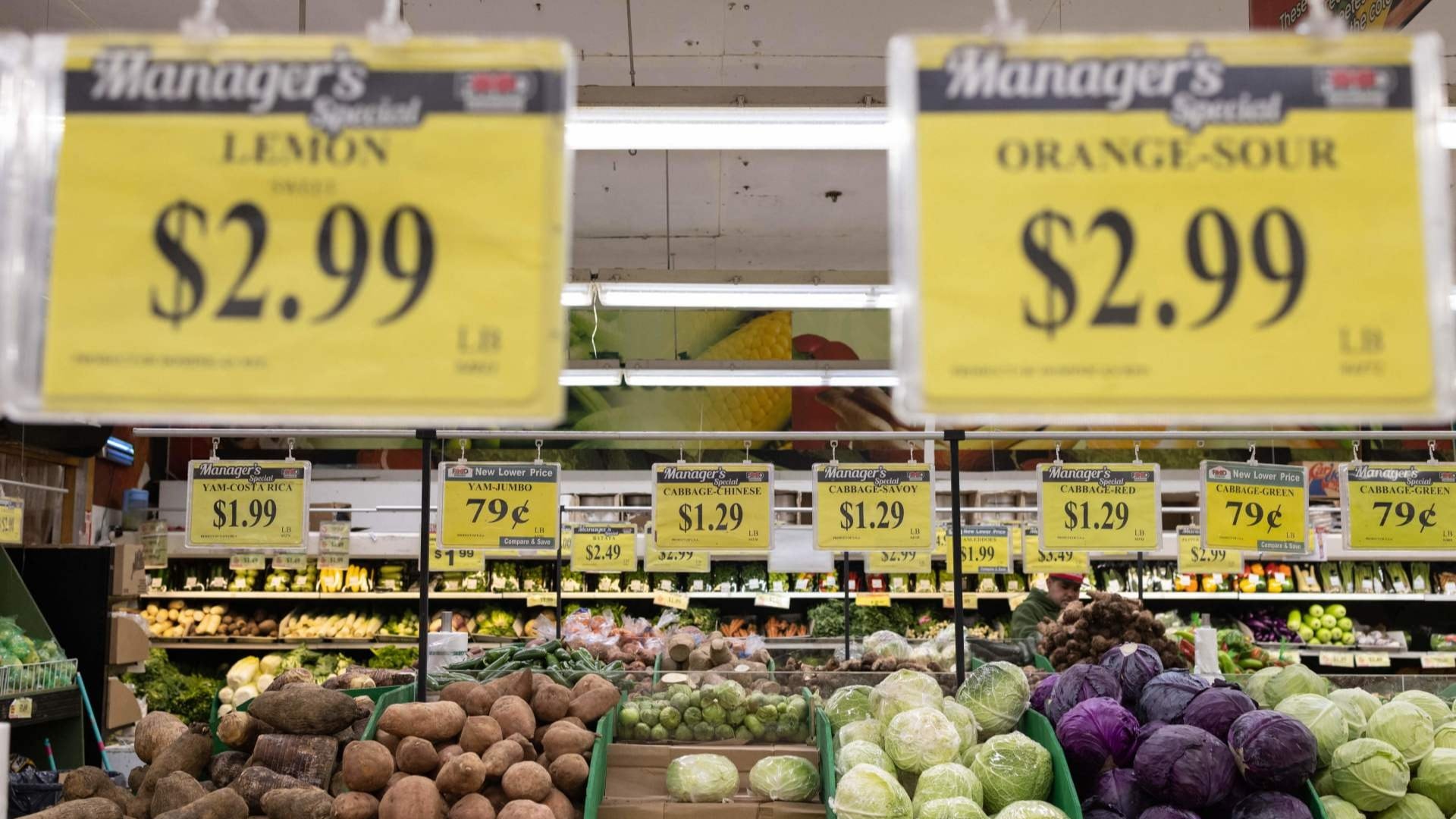
World food prices fell in January for the 10th straight month, according to data.
An arctic blast is hitting the Northeast as millions are dealing with wind chills that could hit as low as 60 below zero.
Aerospace startup Atomos Space, which is developing a series of orbital transfer vehicles to help reposition satellites in space, recently closed on a $16 million financing round. CEO Vanessa Clark and COO William Kowalski joined Cheddar News to discuss the company's operations ahead of its launch.
Oatly has launched climate footprint labels on its products in North America.
British energy giant BP predicts that fossil fuels as a primary energy source will decline from 80 percent in 2019 to between 55 and 20 percent in 2050.
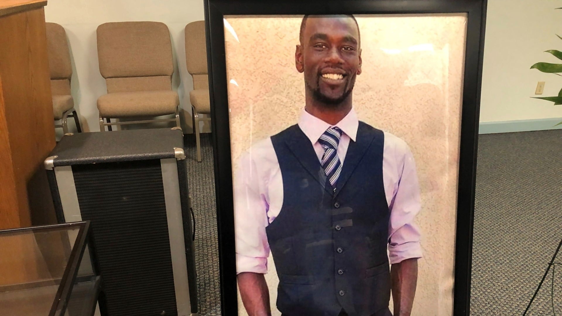
First responders fired after video of police beating Tyre Nichols was released, 10 people show in Lanland, Fla. and winter storm is causing travel troubles. Here is everything you Need2Know for January 31, 2023.
Los Angeles-based FluentPet has developed a series of tiles it claims help four-legged companions communicate with their humans.
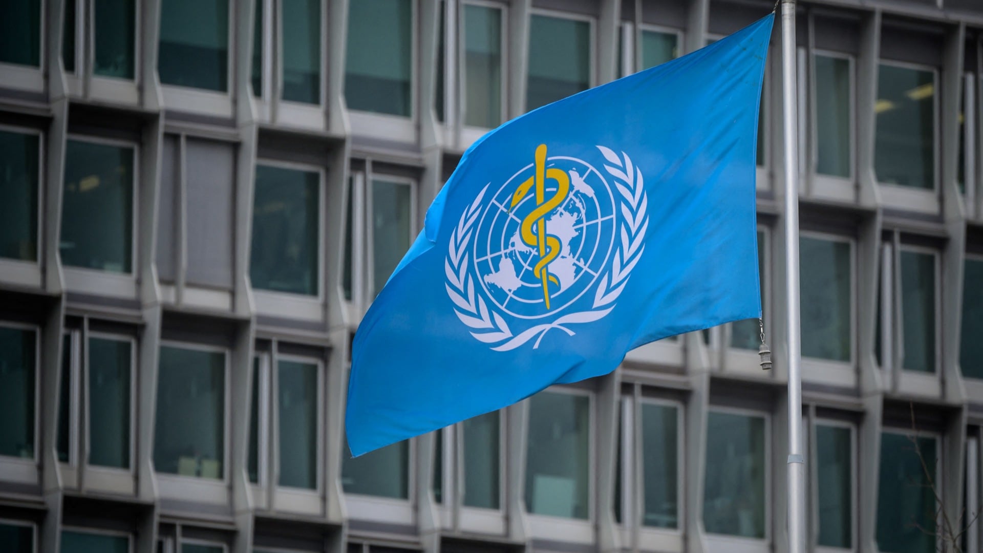
The World Health Organization chief says the coronavirus remains a global health emergency.